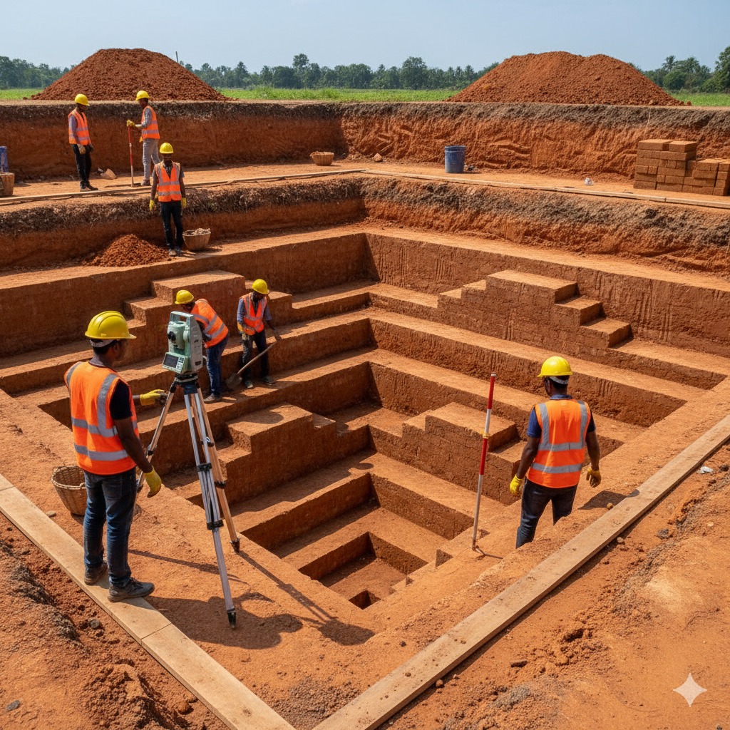
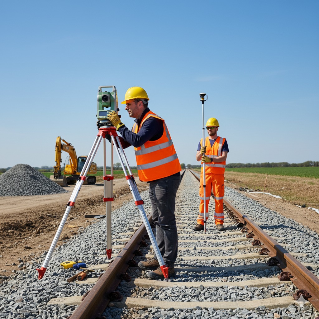
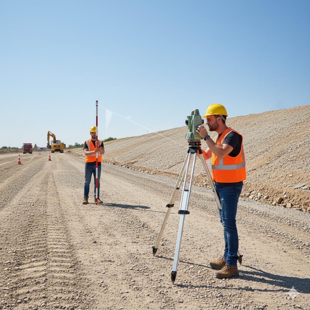
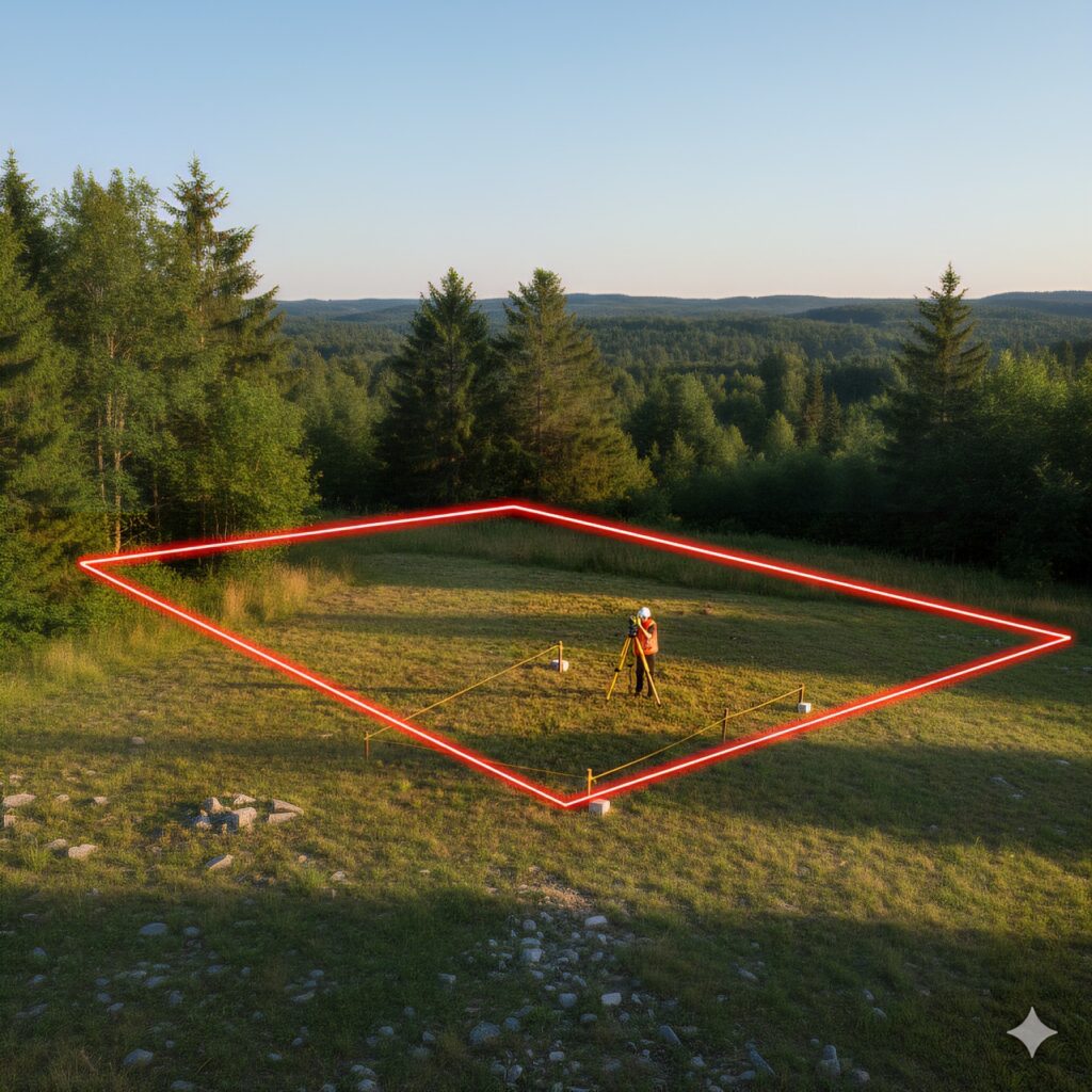
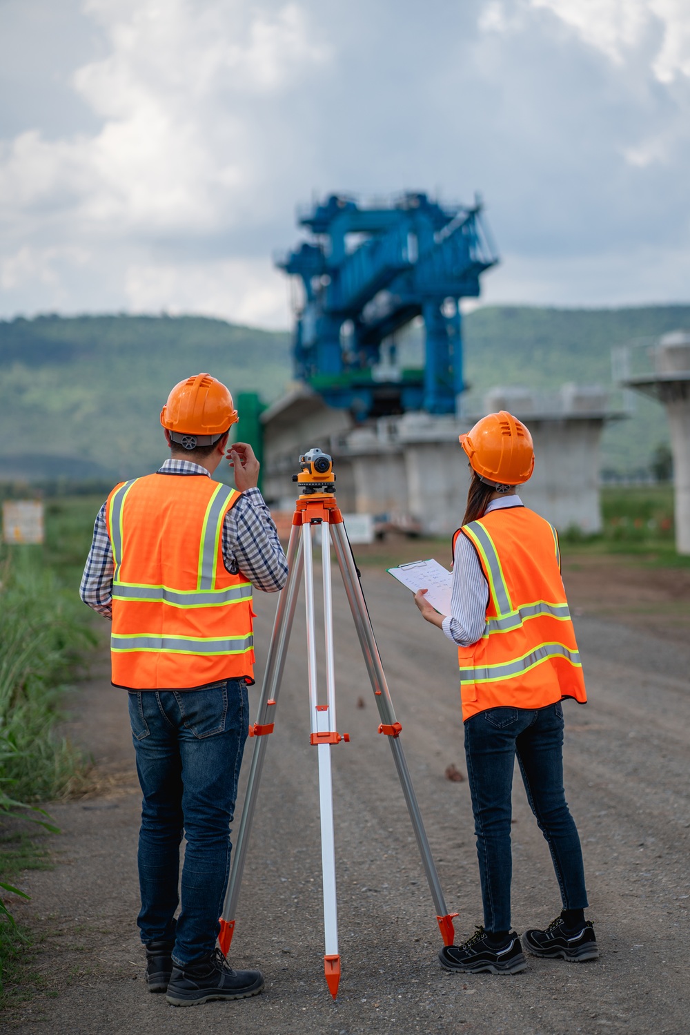
Precision is our foundation
Every project is led by licensed, experienced surveyors, guaranteeing high accuracy and detailed reports trusted by both government and private clients.

Delivering Accuracy, Speed, and Trust.
We ensure on-time project completion and provide fast, reliable, and transparent data reporting for verification and audits.

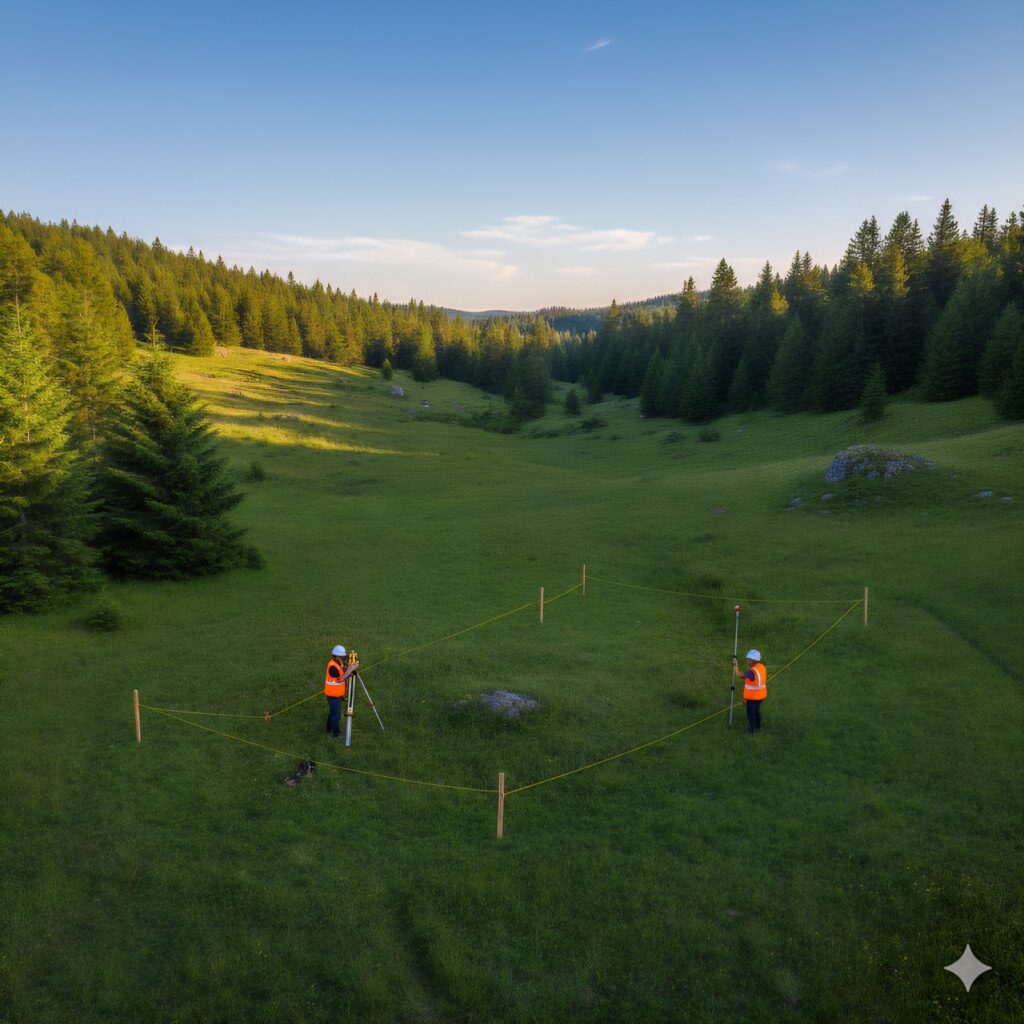
Experienced Team
Qualified professionals ensuring accurate and dependable survey results.

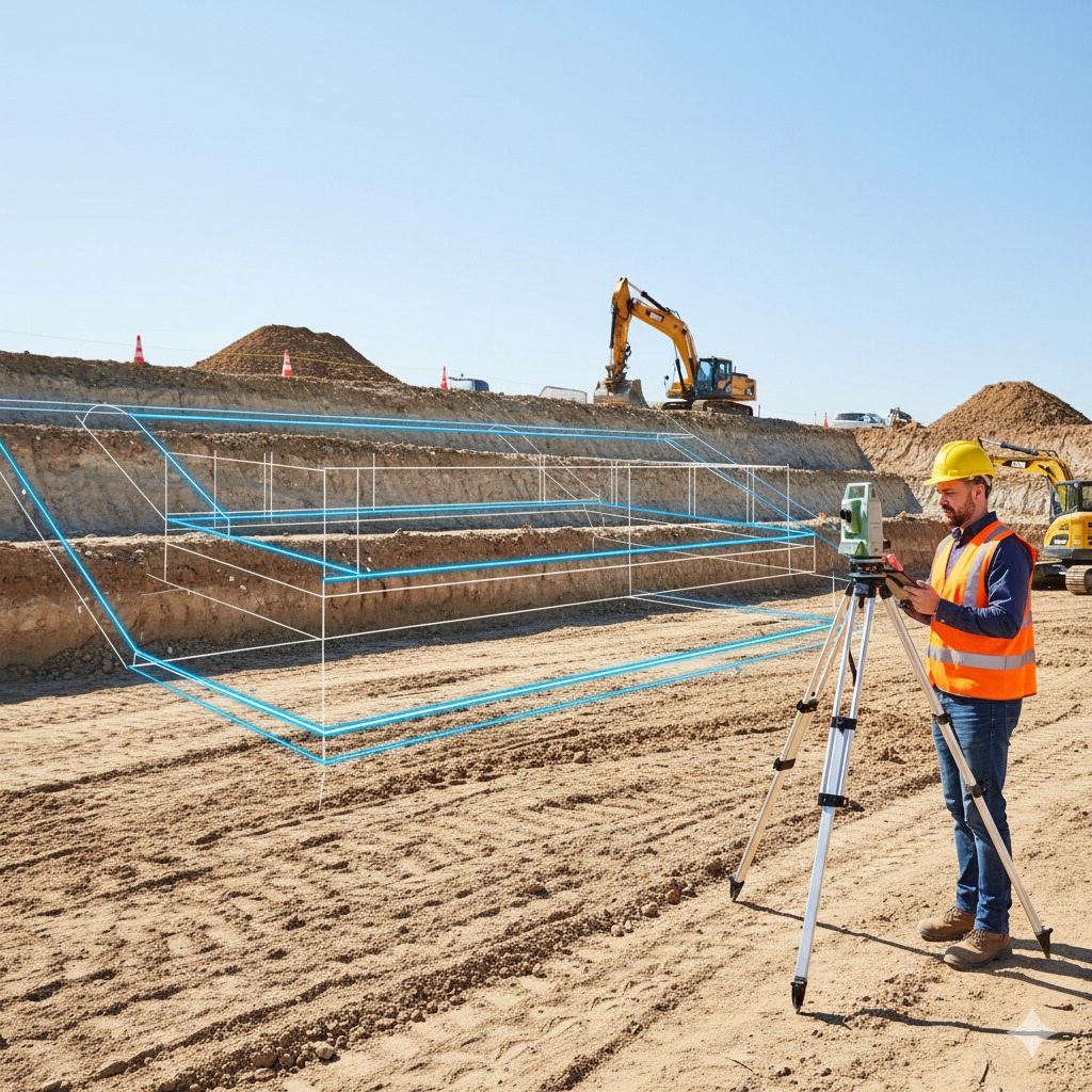
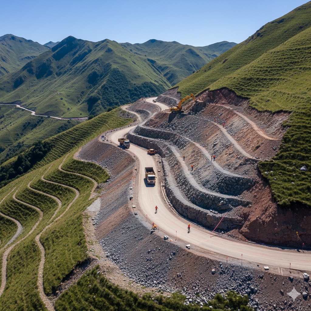
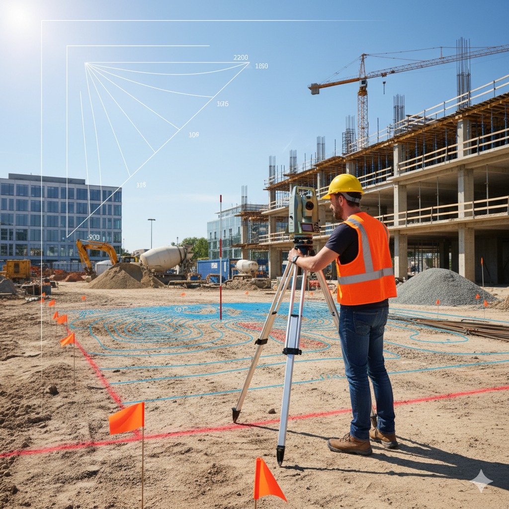
Advanced Technology
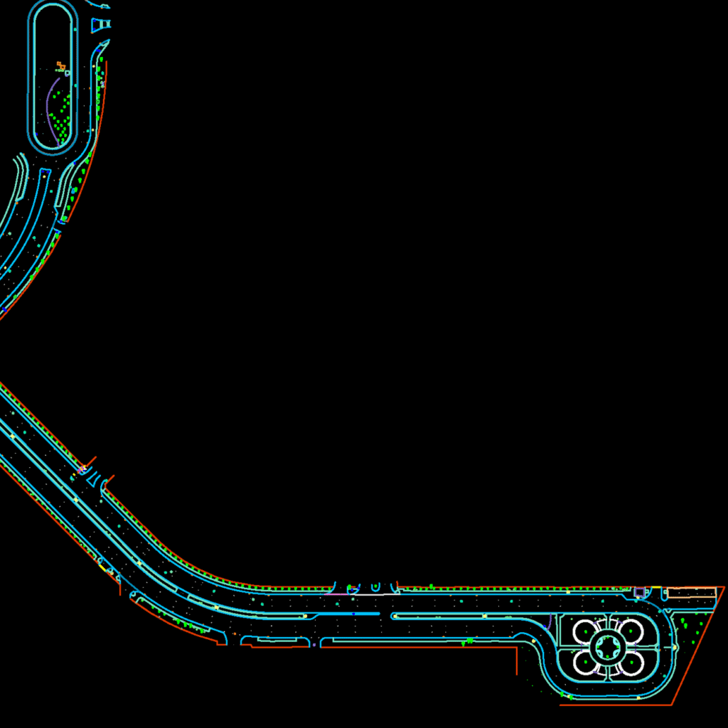
Equipped with modern GPS, Total Station, and drone systems for Surveying.

Reliable & Efficient
Always On-time delivery with consistent precision and top-quality performance.

Quality Assurance
We do Verified reports that meet the highest industry and safety standards.


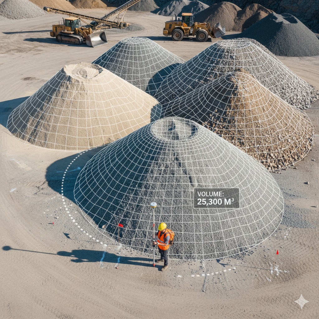
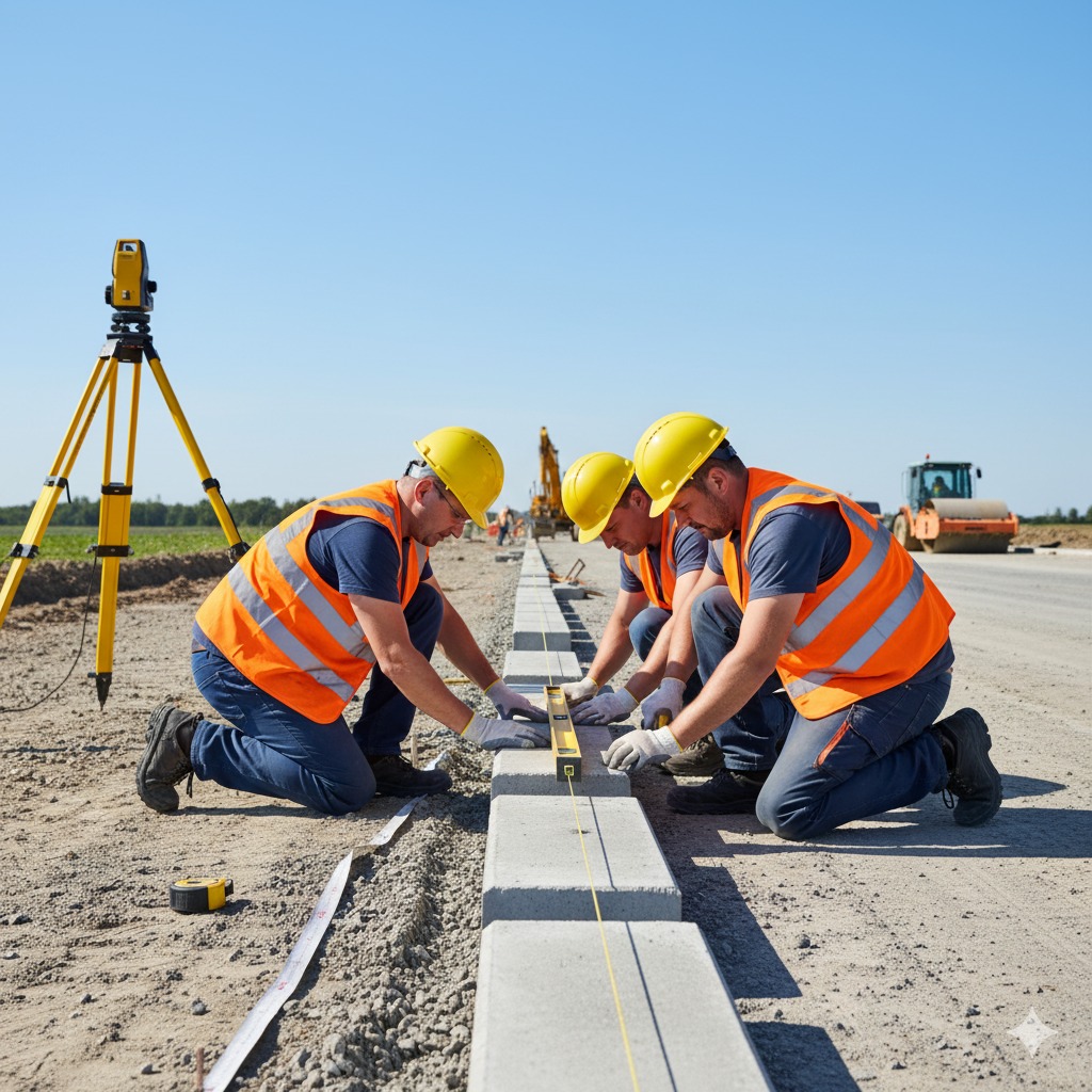
Total Station
Combines angle and distance measurement for precise topographic and boundary data collection.
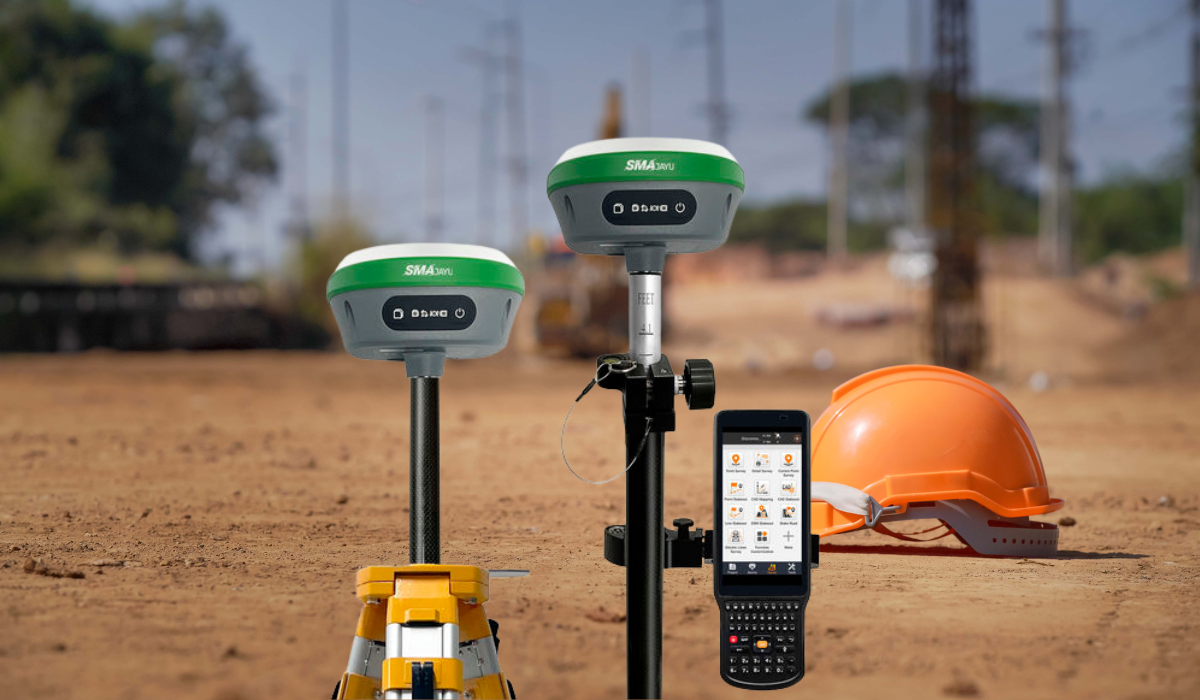
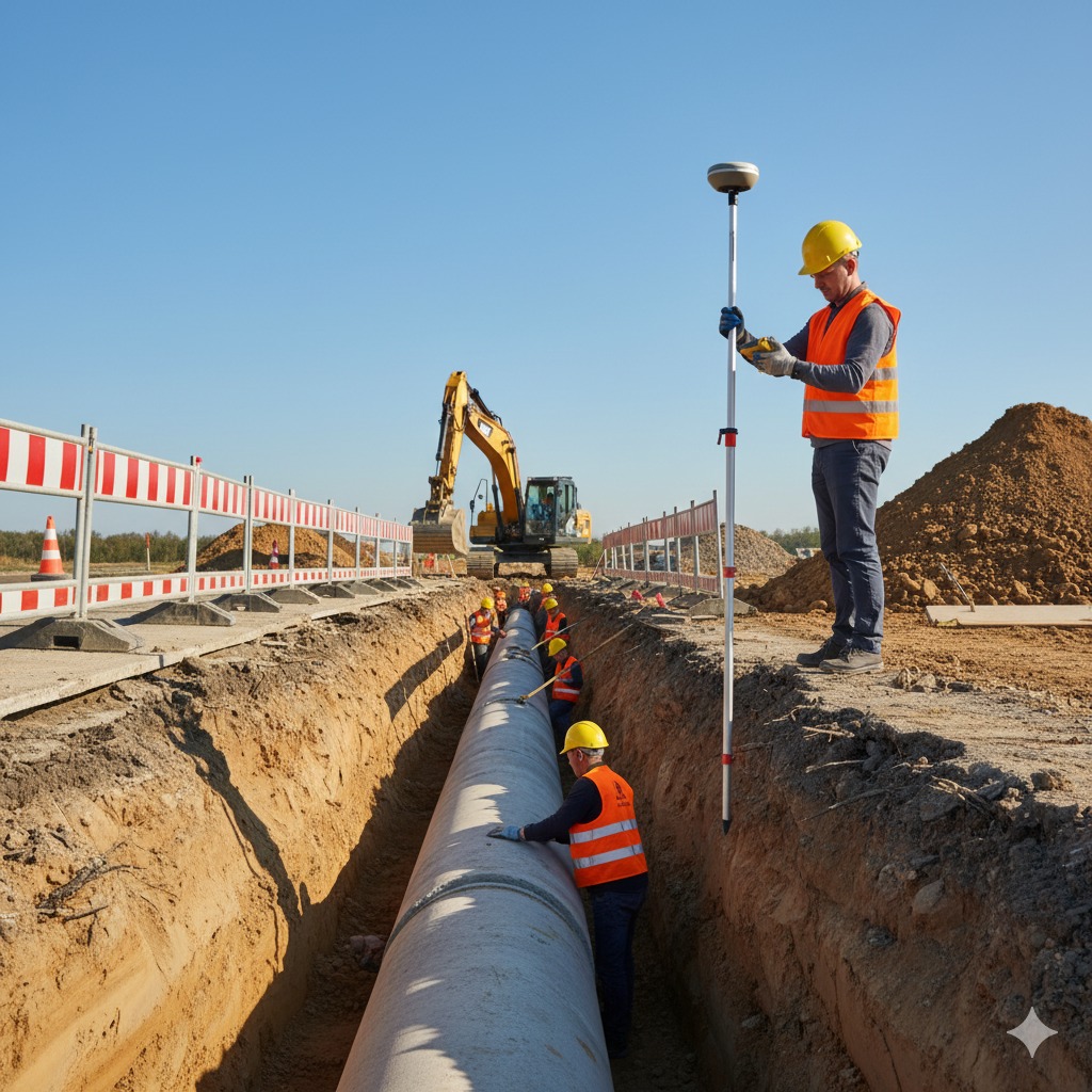
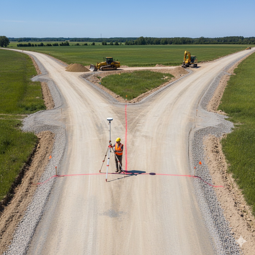
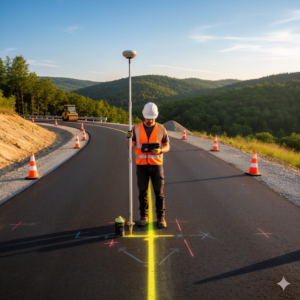
GPS / GNSS Receiver
Delivers real-time positioning with centimeter-level accuracy for all field surveys.
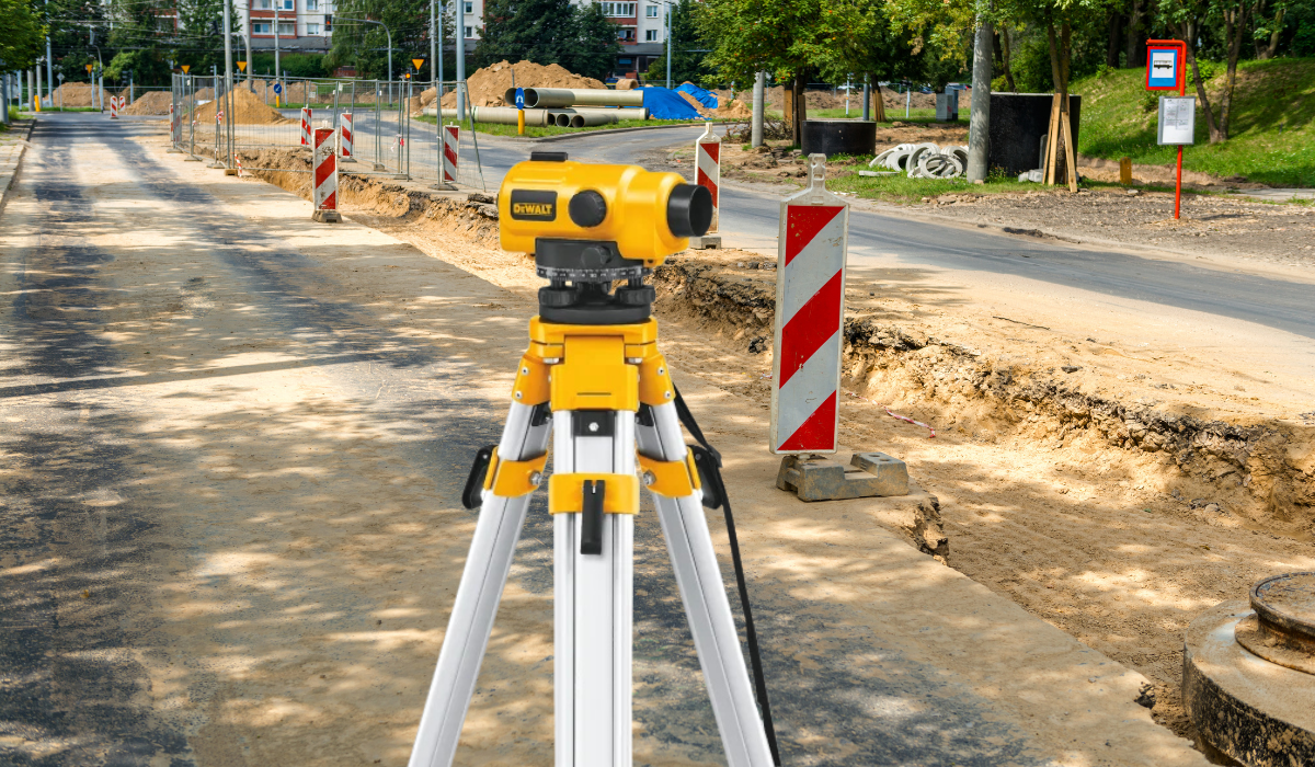
Automatic Level
Provides reliable elevation and leveling data essential for construction and road projects.
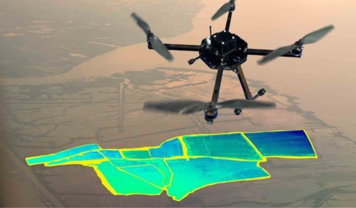
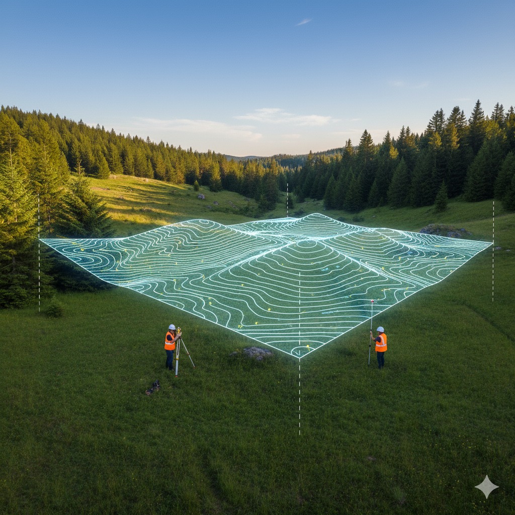
Drone / UAV System
Captures aerial data and imagery for large-scale topographical mapping and site monitoring.
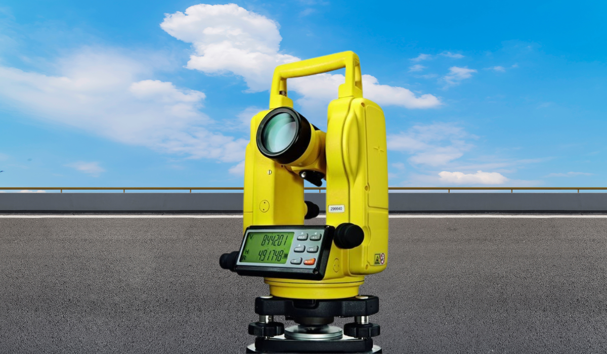
Digital Theodolite
Used for accurate angular measurements in horizontal and vertical plane surveying.
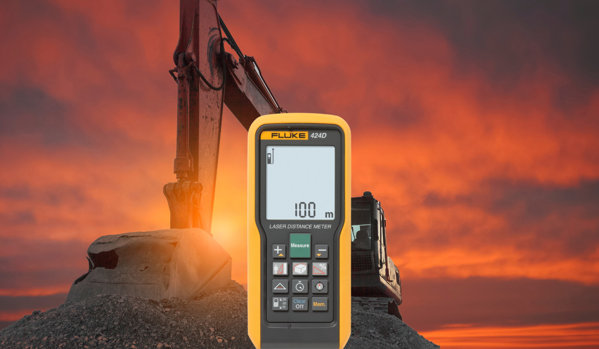
Laser Distance Meter
Ensures quick and accurate distance readings for on-site calculations and layout works.